Quezon uses drones for disaster response, resource planning
Oct 1, 2026
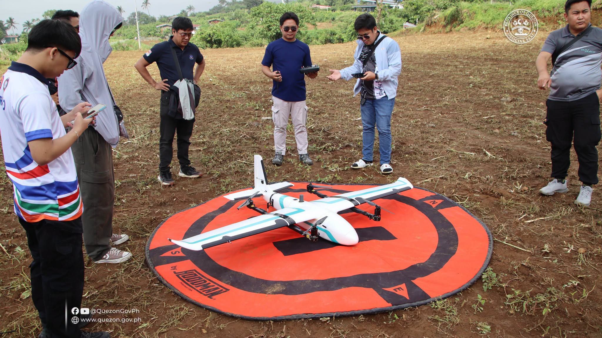
LUCENA CITY – The Quezon provincial government is using aerial drone technology to gather accurate data for disaster preparedness and manage its natural and agricultural resources. “The drone mapping aims to collect geospatial data and aerial imagery that can serve as a basis for improved planning in agriculture, disaster preparedness, environmental protection, and resource management,”
Read full article